")
Coastal Longline Survey – South Carolina
The South Carolina Coastal Longline Survey is jointly funded by the National Marine Fisheries Service and the state of South Carolina Recreational Fishing License Funds Program. This fishery-independent longline survey has been conducted by the South Carolina Department of Natural Resources, Marine Resources Division (SCDNR) since 1994 as an index survey in the Charleston Harbor system. In 2007, the survey changed to a stratified random survey conducted with equal effort in four South Carolina estuarine systems (Winyah Bay, Charleston Harbor, St. Helena Sound and Port Royal Sound; Figure 1). As a program component of SEAMAP South Atlantic, the SC Longline survey is designed to provide a long-term fishery-independent database on the distribution, relative abundance, catch per unit effort, size distribution and age composition of adult red drum along the coast of South Carolina. Additionally, the survey provides information on the relative abundance, size distribution, sex, and maturity of multiple species of small and large coastal sharks.
Survey Design
Sampling in each of the four strata is conducted during three time periods (August 1 – September 15, September 16 – October 31, November 1 – December 15). Thirty locations are selected at random, during each time period, from a pool of 51 (Winyah Bay), 43 (Charleston Harbor), 81 (St. Helena Sound) and 78 (Port Royal Sound) possible sites per stratum (30 stations/stratum/time period). Figure 1 shows the overlap of SC-LLSsites with two other estuarine sampling projects in SC: an electrofishing survey in brackish water rivers and a trammel net survey in shallow estuarine habitats. The overlap of these surveys allows for individual year classes of red drum to be tracked from the time they are juveniles until they join the adult population.
All sampling occurs during daylight hours using the R/V Silver Crescent, a 52-foot shallow draft vessel equipped with two, 1-mile mainline reels with 40 hooks per set. Hooks are baited with Atlantic mackerel or striped mullet. Since there is emphasis on obtaining red drum and sharks in good condition for tagging, gear soak times are short (30 minutes). Environmental conditions including water depth, air temperature, water temperature, salinity, dissolved oxygen, wind direction, wind speed, and coordinates (lat-longs in degrees, minutes seconds) are also recorded for each station.


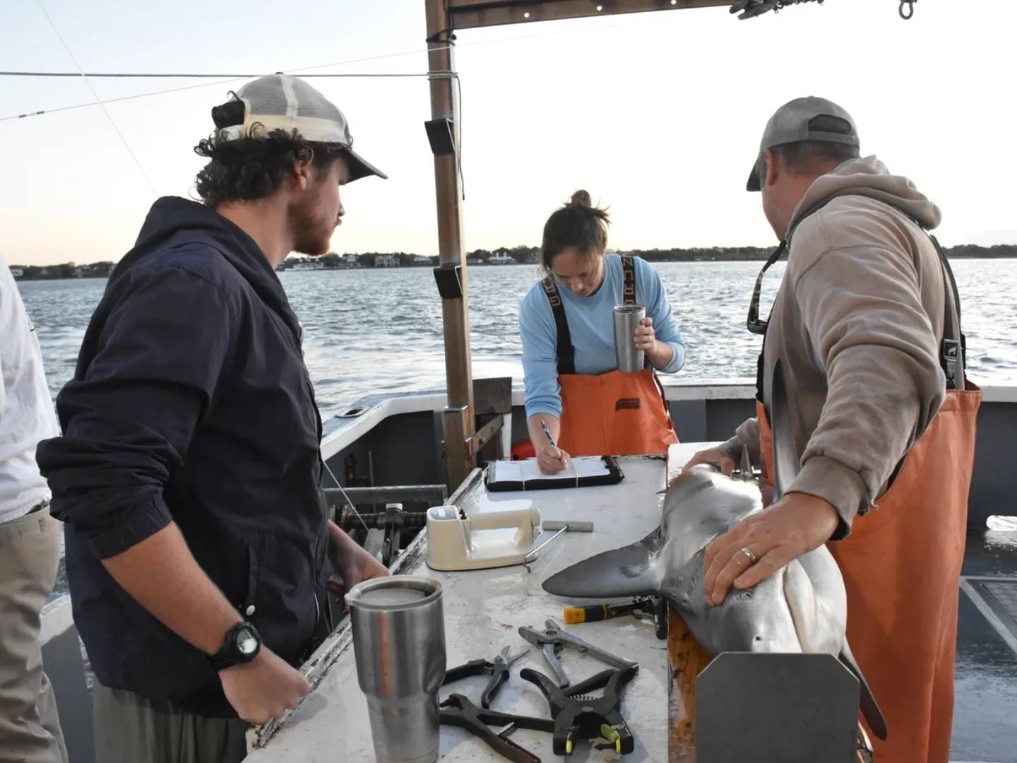
Captured fish are brought onboard to be measured (mm) and processed. Most fish are released alive. However, a small number are dead on arrival at the boat (DOA), and some red drum are collected for brood stock (Charleston Harbor) or sacrificed for biological investigations. A fin clip sample is collected from each red drum in order to identify stocked fish or recaptured individuals, and to investigate stock structure. Red drum are tagged with an external nylon dart tag and a PIT tag, and most sharks are tagged with an external plastic cattle tag or a stainless steel dart tag.
Data Acknowledgement and Data Caveats
The following survey design, protocols, and data caveats are included to assist the data user in acquiring a thorough understanding of the survey before querying the SEAMAP-SA database for South Carolina Department of Natural Resources – Marine Resources Division (SCDNR-MRD) Longline Survey data.
The data user is responsible for reading all of the South Carolina Longline Survey Data Acknowledgement and Data Caveats and fully comprehending every aspect of the requested data. Each requestor is solely accountable for any further analyzes manipulations, or presentations. It is also the responsibility of the data user to cite and acknowledge SEAMAP and the South Carolina Longline Survey. Data can be accessed through the Data Portal tab above.
")
Contact
You can find a summary of the above methods here.
For more information regarding the South Carolina Longline Survey please contact Bryan Frazier.