Welcome to SEAMAP - South Atlantic!

A boat with people on it in the water.
South Carolina Department of Natural Resources, Marine Resources Division.

Who We Are

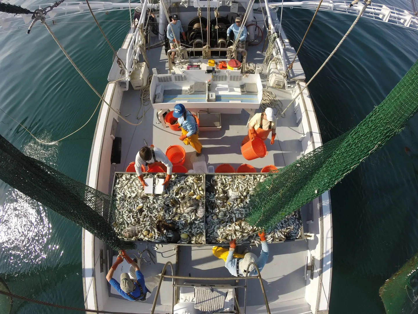
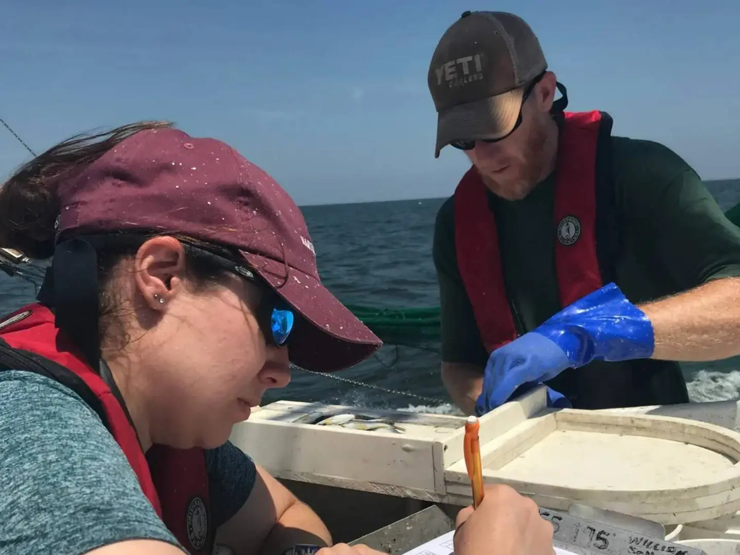
We are a cooperative program to facilitate the collection, management, and dissemination of fishery-independent data from the waters of the eastern United States. Data collected via the Southeast Area Monitoring and Assessment Program (SEAMAP) are relied upon by government agencies, the commercial and recreational fishing industries, researchers, and others to enhance knowledge of marine fisheries and their associated ecosystems. Composed of 3 regional branches, we span from North Carolina to Texas to the U.S. Virgin Islands. 

What is SEAMAP-South Atlantic?

SEAMAP-South Atlantic (SEAMAP-SA) is a cooperative state-federal program run by the Atlantic States Marine Fisheries Commission (ASMFC). The SEAMAP-SA Committee is the oversight and decision-making committee responsible for budgeting, and strategic planning. The committee consists of representatives from state marine fisheries agencies in North Carolina, South Carolina, Georgia, and Florida, as well as the ASMFC, the South Atlantic Fisheries Management Council (SAFMC), and the National Marine Fisheries Service’s Southeast Fisheries Science Center (SEFSC). Routine operations are administered by the SEAMAP-SA Coordinator, an employee of the ASMFC. Current Workgroups established by the Committee include Survey Operations, Habitat Characterization and Fish Assessment, Data Management, and Crustaceans.

Where Are Our Surveys?


Visit our survey dashboard to find the most recent survey information!

Fishery-Independent Data

SEAMAP relies on a combination of fishery-independent data to provide a comprehensive picture of stock size and status for a variety of important species.

Fishery-independent surveys are conducted over an extended time period to identify and monitor long-term biological trends and conduct fishery stock assessments. These data represent scientifically-designed sources of data that are not influenced by management measures (e.g., size and bag limits, season closures, gear restrictions) and are collected in an impartial manner (i.e., do not preferentially target areas associated with high fish abundance).

Common information collected via fishery-independent surveys include:

  • Recruitment

  • Juvenile and Adult Abundance

  • Habitat Characteristics

  • Environmental Factors

By way of comparison, fishery-dependent data are data collected directly from recreational and commercial fishing activities.

NCDMF staff record lengths of economically important species during the Pamlico Sound Survey. North Carolina Department of Environmental Quality

Our Research Goals

  • Collect and analyze data on economically and ecologically important species and their essential habitats to support stock assessments and management needs with emphasis on ecosystem-based management data requirements
  • Optimize fishery-independent survey activities and enhance coordination between surveys in the region
  • Identify and prioritize long- and short-term needs for fishery-independent data to meet current and future critical management and research needs
  • Maximize the accessibility and coordination of fishery-independent survey data

Our Structure

SEAMAP-South Atlantic consists of 5 surveys run across 3 states (North Carolina, South Carolina, and Georgia). These surveys are funded by the National Marine Fisheries Service and U.S. Fish and Wildlife and managed by the Atlantic States Marine Fisheries Commission.

Picture7